

Photographing
The ponds sit in open meadow southwest of El Chaltén, roughly two to two and a half hours on foot and off the official trail. They are small — ten to thirty metres across — and unreliable: full after rain, frozen in winter, dry in extended warm spells. What makes the location work is not the foreground alone but the sky above the peaks. Cloud formations, transitional weather, atmospheric interest — the composition here is as much vertical as horizontal. This guide covers what the view offers, how the foreground changes with the season, and when conditions favour this position.
What to photograph at Loma del Pliegue Tumbado
The dominant subjects are Fitz Roy and Cerro Torre — both visible from a single position, which is the defining feature of this location. From the ponds, the southeast face of Fitz Roy is more compressed horizontally than the classic east-face view from Laguna de los Tres — the tower reads narrower, more vertical. The east face of Cerro Torre looks comparable to the view from Laguna Torre.
What changes the frame is the relationship between the two peaks. No other accessible viewpoint in the park places both mountains at this proximity in a single wide composition. The distance is intermediate — closer than the Cañadón del Río de las Vueltas panorama, further than the shoreline viewpoints beneath the peaks. Both towers share the sky; neither dominates.
Beyond the ponds, the terrain drops into a valley toward Cerro Torre — a separate position that has become popular for compositions framing the tower behind gnarly lenga trees.
Foreground options
The ponds are the primary foreground — but they are not permanent. After rain, they fill and can hold reflections of both towers in calm conditions. In winter, ice forms across the surface and rocks embedded in frozen water become the foreground instead. In dry spells the ponds empty, leaving cracked mud and exposed stone.
The meadow surrounding the ponds provides a secondary foreground in all conditions — alpine grass, open ground, scattered rocks. In autumn, the grass dries to warm tones that complement the granite above.
This is not a location where the foreground anchors the image. The sky is the composition. The ponds add a second layer when they cooperate. When they don’t, the meadow and the sky still carry the frame.
Best time to photograph Loma del Pliegue Tumbado
Sunrise and sunset both work from this position. At sunrise, the light catches the southeast face of Fitz Roy and the east face of Cerro Torre directly — warm light on granite, building from the summits downward. At sunset, the last light wraps around the upper walls while the sky above the peaks takes on colour and structure.
In both cases, the sky determines whether the shot delivers. The peaks alone — lit against clean blue — don’t produce a strong enough image from this distance. Cloud formations, lenticular systems, transitional weather: these make the composition. When the sky has structure, the wide framing that includes both towers and the atmosphere above them becomes one of the most complete frames in the park. When it doesn’t, the walk was exercise.
- Nearest base
- El Chaltén
- Walking distance
- 7km one way
- Coordinates
- 49.354° S, 72.9346° W
Nearby Photography Locations
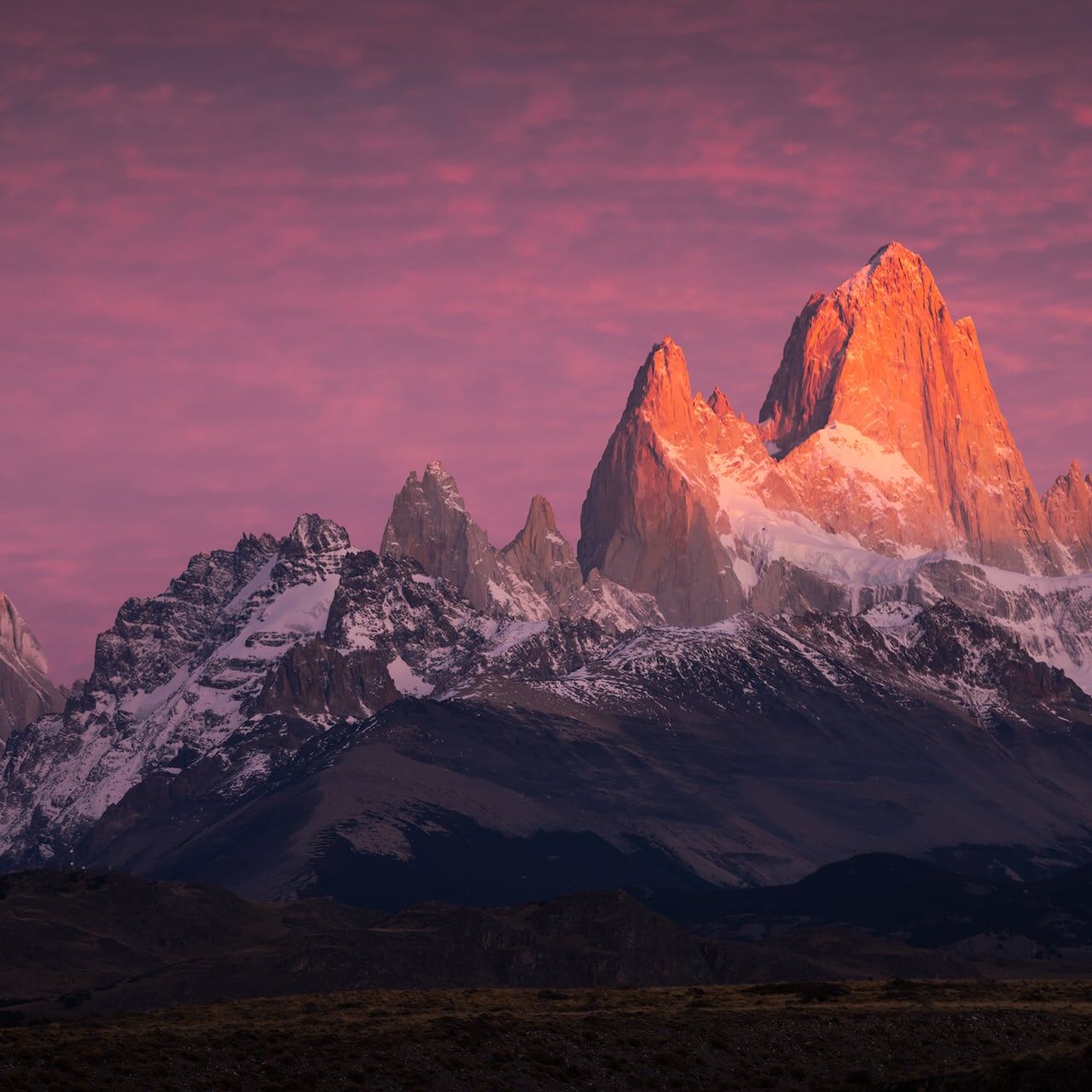
Parque Nacional Los Glaciares stretches across the southern edge of the Patagonian Andes — from the granite towers of El Chaltén in the north to the advancing ice of Perito Moreno in the south. For landscape photographers, the park offers one of the most concentrated collections of mountain and glacial viewpoints in the world. These are the most popular locations for photography.
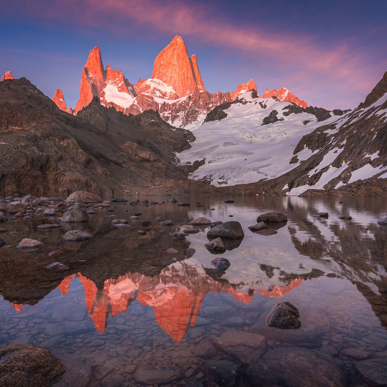
Standing at 1,170 metres in the mountains above El Chaltén, Laguna de los Tres sits directly beneath the east face of Fitz Roy — a position that makes it one of the most photographically powerful viewpoints in the southern hemisphere. The lake is small, and in calm conditions can hold a near-perfect sunrise reflection of the granite towers above. This is where serious landscape photographers come to Patagonia to be.
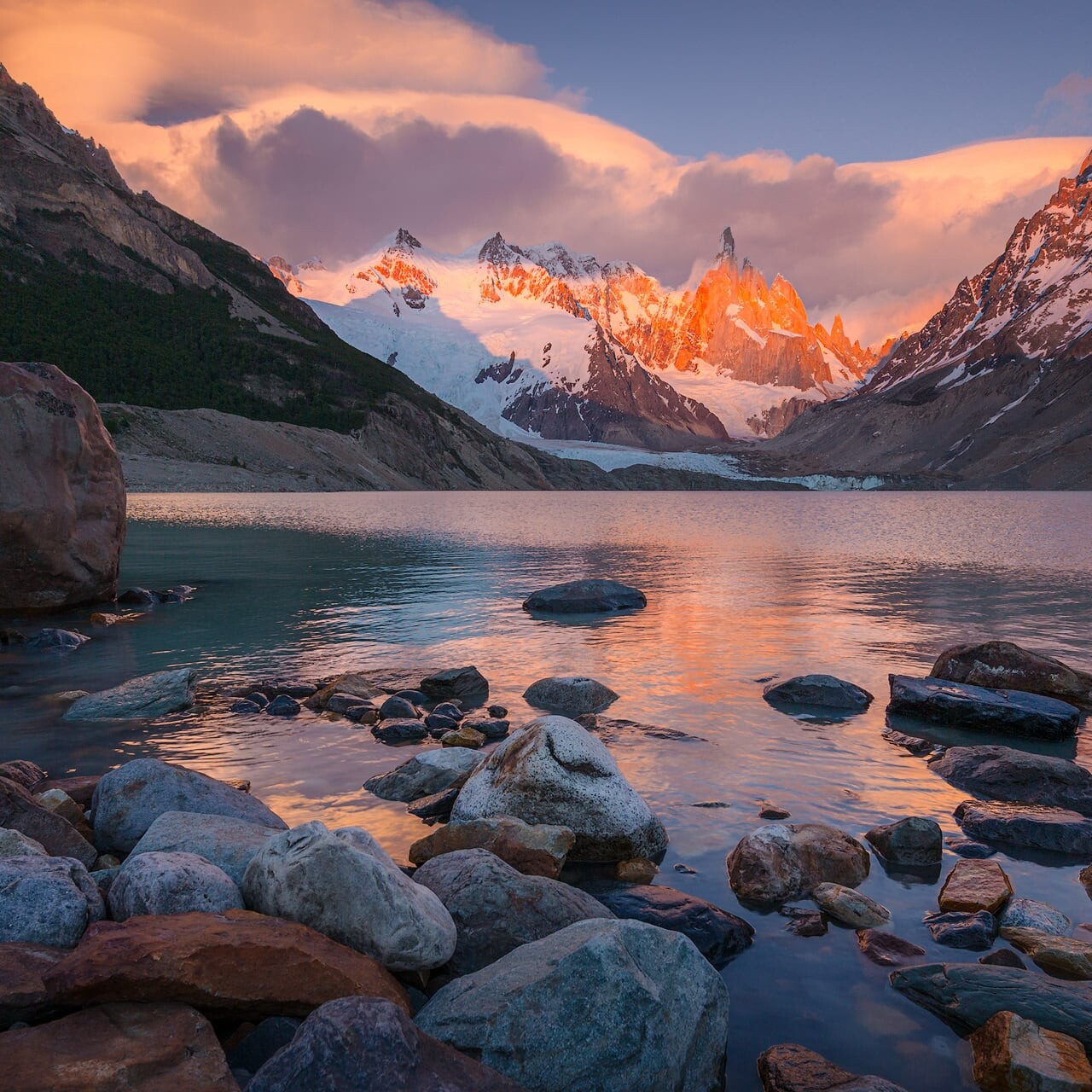
Laguna Torre is the closest you can get to Cerro Torre without a climbing permit or mountaineering equipment — a glacial lake at the foot of one of the most dramatic granite spires on Earth. The mountain rises directly above the glacier at the far end of the lake, placing the photographer in a perfect position to shoot sunrise. For anyone drawn to Cerro Torre, this is as close as you get.
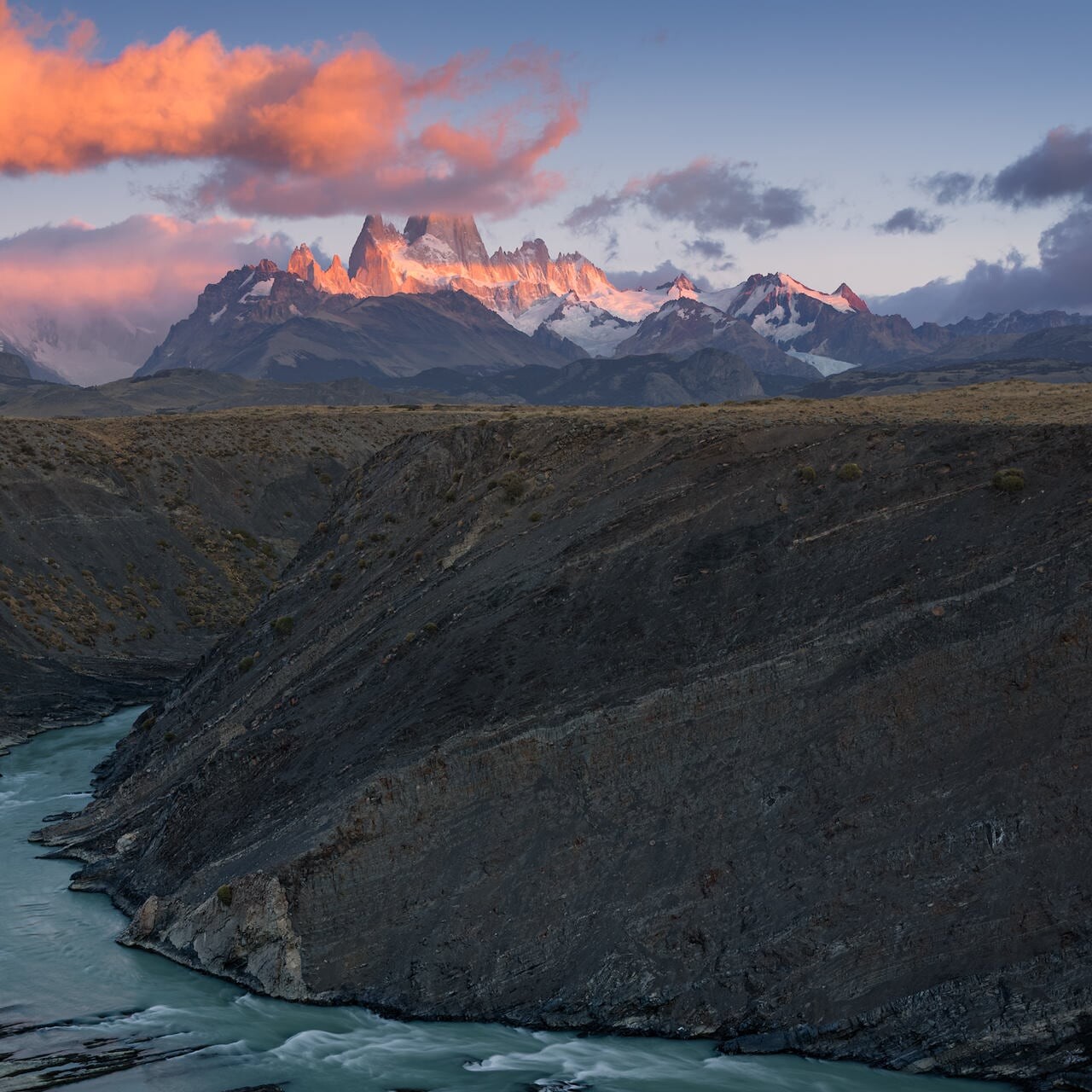
Most viewpoints around El Chaltén offer closeness — the granite filling the frame, the glacier detail sharp, the scale overwhelming. The Cañadón del Río de las Vueltas offers the opposite: a step back, the full Fitz Roy Range in a single frame, and the wide Patagonian sky above. Cerro Torre on the left, Fitz Roy at the centre, every peak and spire between them. From the canyon rim, El Chaltén sits far below — this is the widest accessible view of the massif.

Forty-five minutes above El Chaltén, the valley opens below and the Fitz Roy massif fills the north-western sky. It is not the most demanding photography position in the park — but on a clear morning, when alpenglow arrives in the last seconds before sunrise, this ridge earns its hour in the dark. The view is complete. The access is simple.