
Overview
Fitz Roy, one of the many beautiful peaks in the southern Cordillera Patagónica, is an impressive mountain with an altitude of 3,405m. It is the most widely visible peak of the surrounding Cordillera and its unique shape can be seen from more than a 100 kilometres away. Fitz Roy’s vertical walls have been attracting adventurers and climbers ever since its discovery. In the early days getting close to the mountain was an adventure itself. Nowadays El Chaltén, a small and friendly town from where you can trek to the foot of Fitz Roy within a few hours, serves as a comfortable hub for tourists and climbers.
The first written description of Fitz Roy was made in the year 1782, by Spanish explorer Antonio de Viedma, who spotted the mountain from the shores of a lake nearby later called Lago Viedma. Antonio de Viedma was not the first human to lay his eyes on the peak though. Southern Patagonia and the vast plains east of Fitz Roy had been inhabited by the native nomad tribes of the Aonikenk (or Tehuelche) for centuries. The native name for Fitz Roy — a sacred mountain in the spiritual world of the Aonikenk — was “Chaltén” which translates to “smoking mountain”, and obviously was a reference to the clouds often hovering above the peak. In 1877 Francisco “Perito” Moreno, the famous explorer and geographer, named the mountain after Robert FitzRoy the captain of the HMS Beagle — the ship that Charles Darwin used for his famous exploration of the world.
Fitz Roy is located in Parque Nacional Los Glaciares, where it stands among other famous Patagonian peaks like Cerro Torre. The peak is the most prominent of the so called Fitz Roy Group, a chain of summits connected via a ridge line. Other notable peaks of the Fitz Roy Group are (from South to North) Aguja Saint-Exupéry, Aguja Poincenot, Aguja Mermoz and Aguja Guillaumet — one name belongs to a member of the expedition that first reached the summit; the other three honour French Aéropostale aviators who flew mail routes over Patagonia a generation earlier, Guillaumet among them the pilot whose crash and walk out of the Andes Saint-Exupéry told in Wind, Sand and Stars.
Fitz Roy’s impressive east face can be seen from almost anywhere in the national park and many visitors make it up all the way to Laguna de los Tres, a small lake almost directly below Fitz Roy’s walls. The west face is a different proposition, reserved for those willing to go considerably further into the park.

Fitz Roy
Quick Info
Fitz Roy stands on the border between Argentina and Chile, in southern Patagonia at 49° south — about as far from the equator as Paris, only in the other hemisphere. The nearest airport is El Calafate, a flight of just over three hours and some 2,000 km from Buenos Aires. From there a bus covers the 200-odd kilometres to El Chaltén, the village below the massif, in around three hours.
Facts
- Height: 3.405m / 11.171ft
- Mountain Range: Andes
- First Ascent: 1952
Location
- Country: Argentina
- Nearest Town: El Chaltén
- Nearest Airport: El Calafate (FTE)
Fitz Roy
On the Map
- GPS: 49° 16' 12.2772'' S / 73° 2' 33.5508'' W
- Lat/Long: -49.270077, -73.042653
Additional Information:
Climbing History
Fitz Roy took a remarkably long time to climb — long before El Chaltén existed to make the approach a matter of a few hours’ walk; in 1952 the village was still more than thirty years away. The approach alone defeated most early attempts, and the mountain’s granite walls, rising in one unbroken sweep above the ice, belonged to a category of difficulty the equipment of the day could not reliably handle. When it finally fell, in February 1952, it fell to a French expedition that had spent weeks working for it, and had already lost a man before setting foot on the rock.
The 1952 Expedition
The expedition gathered in Argentina in late 1951 under the leadership of René Ferlet, with official backing from the Argentine government and a liaison officer, Francisco “Paco” Ibáñez, attached to the party. The climbing party was French: Lionel Terray and Guido Magnone, both already among the best alpinists in Europe, who would eventually form the summit pair, alongside Jacques Poincenot and the guide Louis Depasse. A doctor, a glaciologist and a filmmaker rounded out the group.
They never got to climb as planned. On the approach march in late December, crossing a river swollen with meltwater, Poincenot was swept away and drowned. He was twenty-eight. The expedition continued without him, and the name was given to the granite spire that stands beside Fitz Roy for most of the walk in from El Chaltén — Aguja Poincenot. The camp in the forest below carries his name too.
What followed was a siege in the old style: weeks spent establishing camps, fixing ropes and ferrying loads before the climbing itself could begin. Terray and the others found the weather far worse than anything they had met in the Alps, and progress up the summit wall was slow and hard-won. At least once, dwindling food and fuel forced the party back down the mountain to wait for another window.
First Ascent
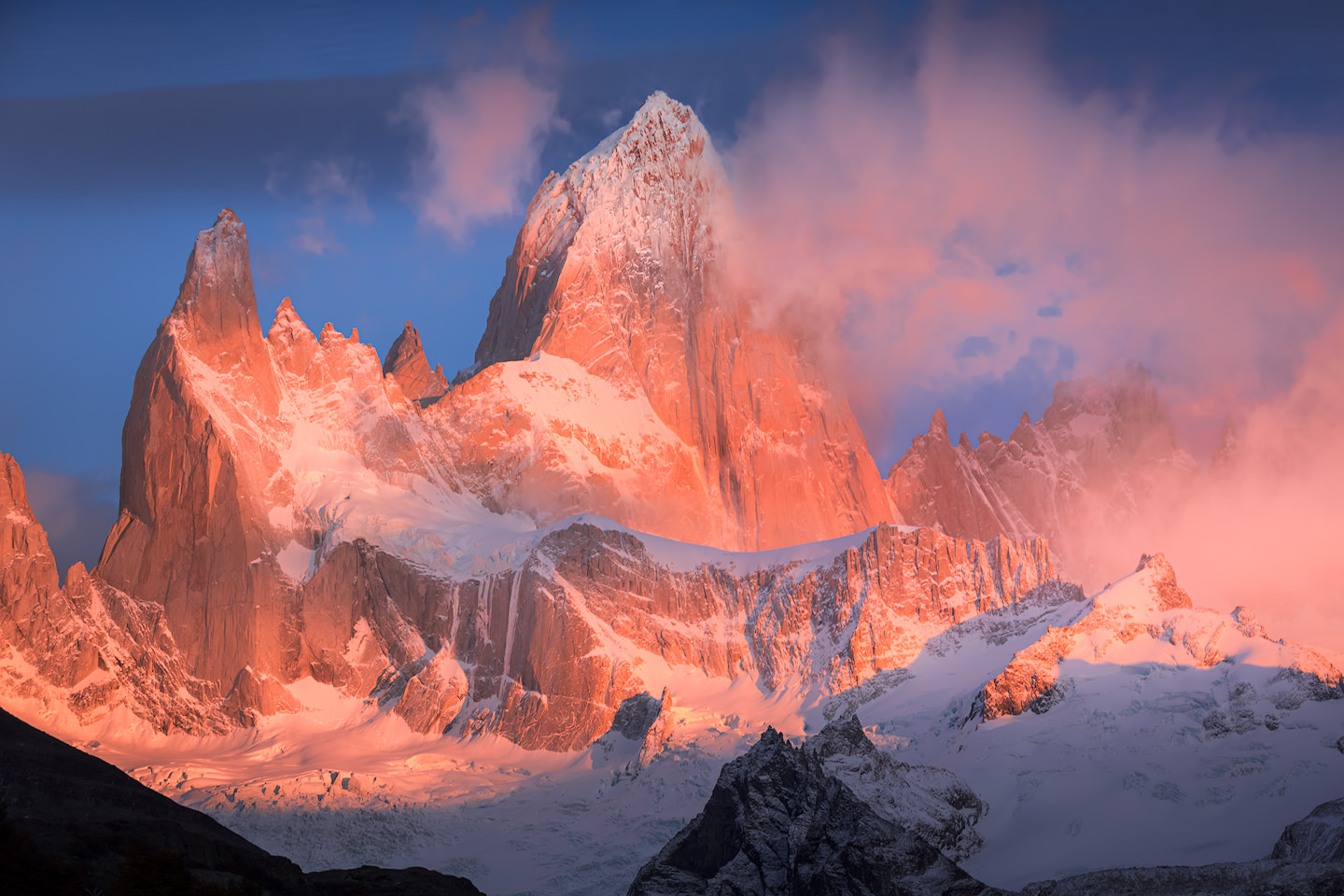
The summit push came on February 1st and 2nd, 1952. Terray and Magnone worked up the south-east ridge — the line still known today as the French Route — through cracks that were too wide, too thin, or filled with ice, on a wall that offered almost nothing in the way of ledges.
The climb nearly ended a few rope-lengths below the top for want of a single piton. They had run out of the thin ones. Terray found one still in his pack, kept there by accident after he had used it days earlier to open a tin of sardines — and it was that piton, placed in the crack that mattered, that got them up the last section. They reached the summit at 16:40 on February 2nd.
Terray climbed a great deal in his life, in the Alps, the Andes and the Himalaya. He described Fitz Roy afterwards as his hardest and finest climb, a judgement recorded in the American Alpine Club’s own account of the range.
After 1952
The measure of what the 1952 party achieved is in how long the mountain stayed quiet afterwards, and in what it took to repeat it.
Thirteen years passed before the second ascent. In January 1965 two Argentines, Carlos Comesaña and José Luis Fonrouge, climbed an entirely new line — the Supercanaleta, sixteen hundred metres up the mountain’s west side — alpine-style, carrying what they needed and bivouacking on the route. They left on January 14th, summited on the 16th, and were back down by the 18th. Five weeks of siege in 1952; four days, start to finish, in 1965. Nothing about the mountain had changed. Everything about how people climbed had.
The third ascent, in December 1968, is the one most people have seen without knowing it: the California team included Yvon Chouinard, who later named his company Patagonia, and Fitz Roy’s skyline became its logo.
In February 2014 Tommy Caldwell and Alex Honnold climbed the whole ridge, seven summits in five days, every one of the Agujas named above among them. Two years later Colin Haley and Andy Wyatt went up the Supercanaleta and back to the road in just over twenty-one hours, the first one-day ascent of Fitz Roy. The question is no longer whether the mountain can be climbed, but how much of it, and how fast.
Trekking
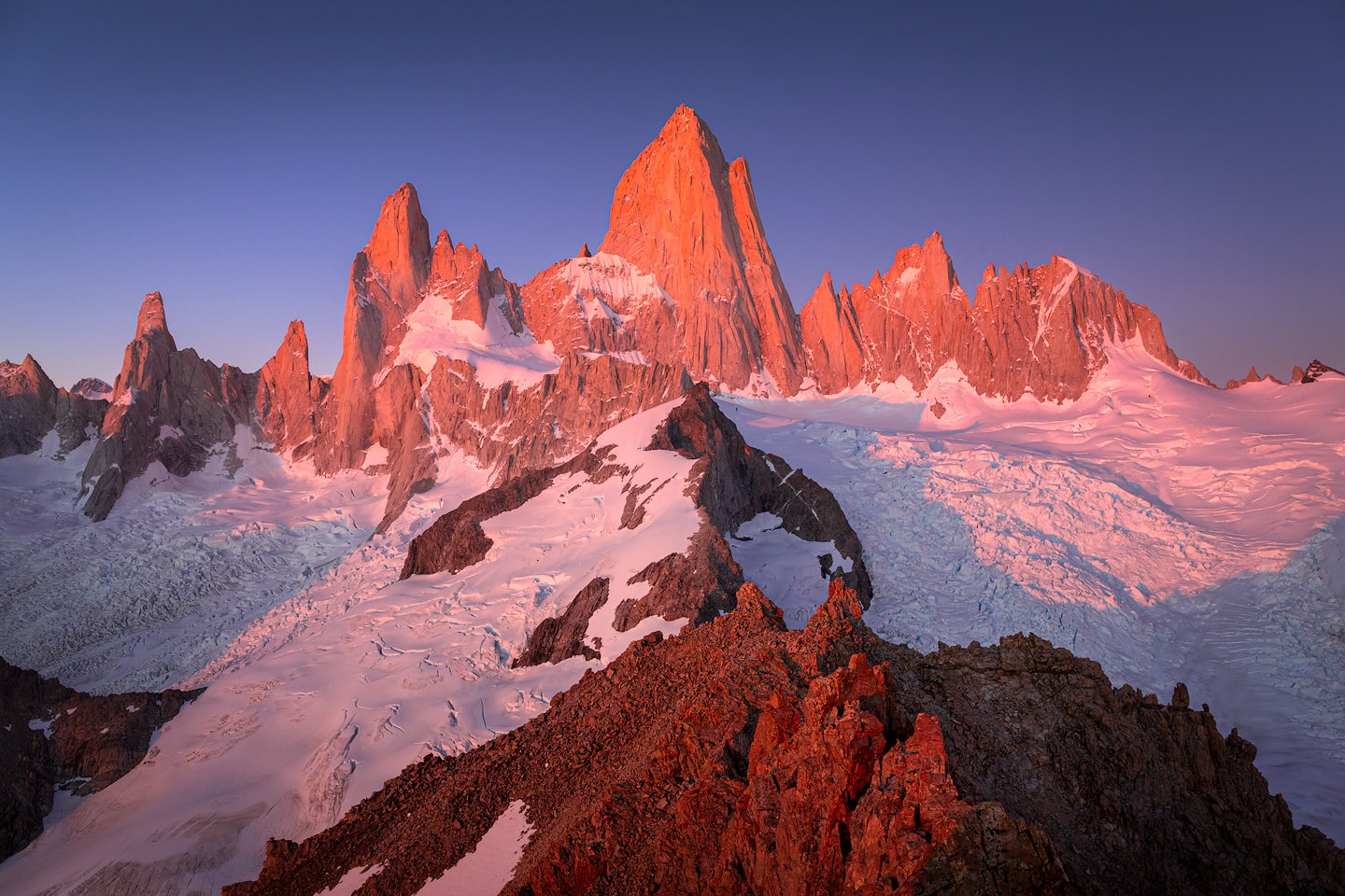
Almost everything here starts in El Chaltén itself. The main trails leave from the ends of the streets, and a few hours of walking puts you under a wall that took a French expedition five weeks to climb and cost it a man before they had even reached the mountain.
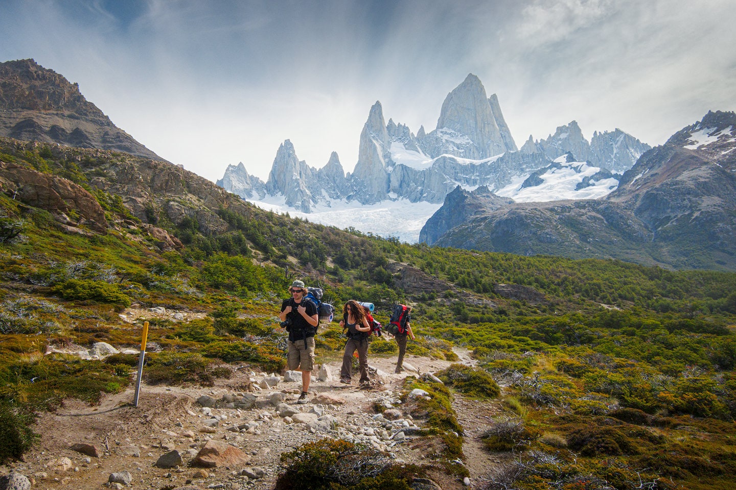
Getting to the foot of Fitz Roy was the dangerous part in 1951; today it is a marked path with wooden bridges over the streams and camps in the lenga forest, booked in advance, for anyone carrying a tent. That is the defining fact of walking here: one of the hardest summits in the Andes to climb is also one of the easiest to stand beneath. What the accessibility does not buy is a clear view. The difficulty has simply moved from the ground to the sky, and plenty of people walk the whole way up without ever seeing the summit they came for.
Hiking around Fitz Roy
Fitz Roy doesn’t give the same mountain twice. Walk in from the east and you get the postcard: the granite wall catching the first light, the crowds, the trail everyone already knows by name. Go north or north-east instead and the massif turns its back — glacier, wind, and a quiet the main trail never has.
Laguna Capri
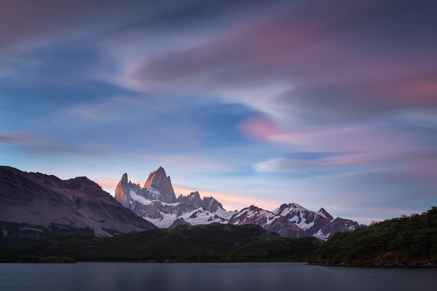
The first worthwhile stop is an hour to ninety minutes up the trail out of El Chaltén: a wide lake with the massif standing behind it and lenga forest running right down to the water. The easiest way in this whole list to stand in front of Fitz Roy: a morning out and back, with a campsite at the lake for anyone who wants to stay. For anyone with a full day ahead, Capri is just the opening act.
- Distance: 9km (round trip)
- Duration: 2-3 hours (round trip)
- Max. elevation: 783m
- Level: easy
- Permit: not required
Laguna de los Tres
Keep walking past Capri and the same trail delivers the classic: the reason most people come to El Chaltén in the first place. The path climbs steeply out of the forest, settles into a long flat stretch, before throwing four hundred metres of ascent at you and eventually dropping you at a lake directly beneath the east face. Most do it as one long day; the alternative is to carry a tent to Campamento Poincenot, giving you the chance to enjoy a sunrise walk to Laguna de los Tres. Take three days instead of one and this becomes the first half of a loop across to Laguna Torre — the full route is in three-day trek around El Chaltén. For how it stacks up against every other walk in the park, the Parque Nacional Los Glaciares destination guide puts them side by side.

- Distance: 22km (round trip)
- Duration: 6-8 hours (round trip)
- Max. elevation: 1,198m
- Level: intermediate
- Permit: not required
Paso del Cuadrado
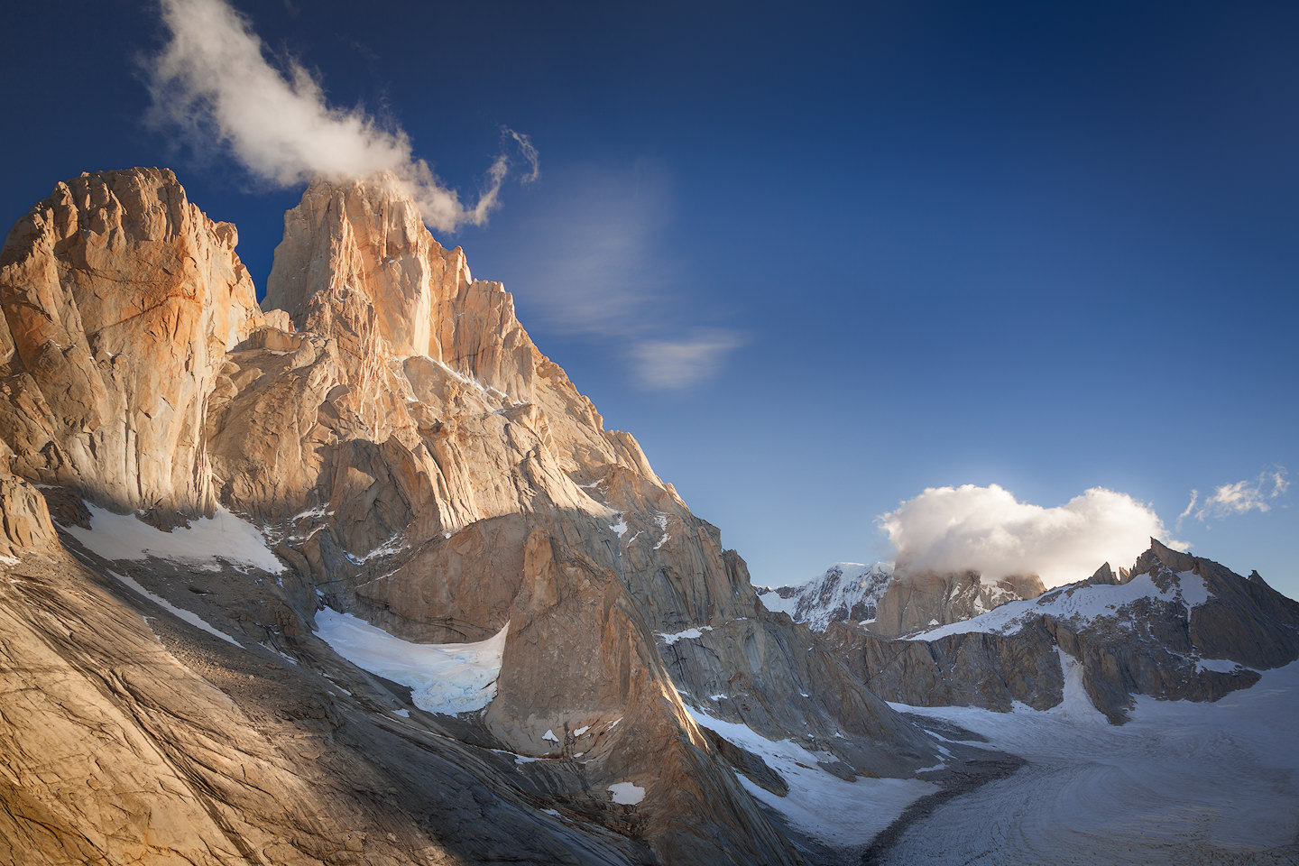
The way up starts in the Río Eléctrico valley, north of the massif, at a bridge about 17 km up the road from El Chaltén. Don’t expect Fitz Roy on the way in: the valley is steep-sided and the peak stays largely hidden as you follow the river through beech forest — an easy two hours — to Piedra del Fraile, where there is a refugio and a campsite. Beyond it the trail stops being a trail. A long day climbing steep over exposed terrain, and most people who attempt it go with a guide rather than find the route themselves. What’s waiting at the top is the north-west face, which almost nobody sees: the whole back of the massif opens up from the pass, the northern glaciers below. A completely different mountain from the one at Laguna de los Tres — no crowds, no established viewpoint, and weather that can turn you around with very little warning.
- Distance: 22km (round trip)
- Duration: Full day
- Max. elevation: 1,733m
- Level: expert
- Permit: required
Southern Patagonian Icefield
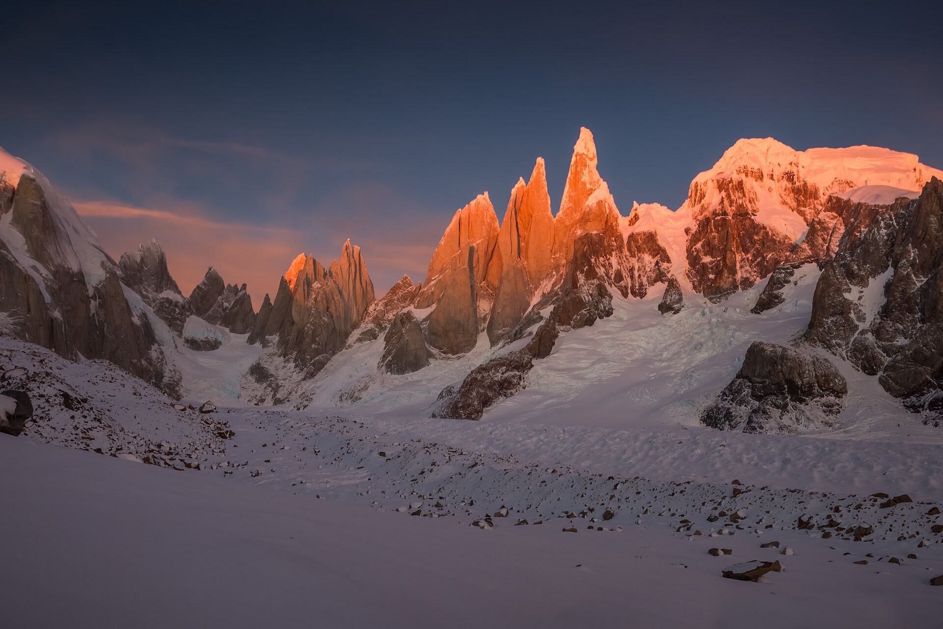
Everything visible from El Chaltén stands on the eastern edge of something far larger. Behind Fitz Roy and Cerro Torre the icefield runs roughly 350 km along the border with Chile, the world’s second-largest ice mass outside the polar regions. Getting onto it from this side means a high pass, fields of crevasses, wind that can top 150 km/h, registration with the park and customs, and in practice a guide. It is an expedition rather than a hike — five days via Paso del Viento, seven by the classic route through the Eléctrico valley and Paso Marconi. The crossing is told in my expedition to Circo de los Altares.
- Distance: 80km (round trip)
- Duration: 6-8 days
- Max. elevation: 1,517m
- Level: expedition
- Permit: required
Weather & Wind
Patagonian weather runs the show here, not the calendar. Wind, cloud and rain are the default state, clear skies the exception, and Fitz Roy can disappear behind weather for days at a stretch. November through March — the austral summer — gives the longest daylight, the kindest temperatures, and the best odds of a clear window, but “best odds” in Patagonia still means waiting. Photographers regularly spend a week in El Chaltén for one clean morning, and the ones who stay patient are usually the ones who get it. Climbers wait longer: a summit attempt needs days of settled weather rather than one clear morning, and a week rarely covers it.
Wind especially doesn’t let up, least of all on the exposed ridge up to Laguna de los Tres — trekking poles earn their weight here, and anything loose needs tying down. Check a reliable forecast before every outing — Windguru is the one most people use — and expect it to change.
Photographing Fitz Roy
Fitz Roy has only been photographed from the ground for a remarkably short time. There was no town beneath it until 1985, and El Chaltén was not founded for visitors — it was put there to settle a stretch of border Chile also claimed. Before that, reaching the foot of the east face was an expedition in its own right rather than a morning’s walk, and the mountain’s written record is almost entirely a climbing one.
The genre arrived late, and then quickly. The town went without mobile signal or decent internet until relatively recently, yet landscape photographers began showing up in numbers around the turn of the 2010s, and inside a decade Fitz Roy’s east face had become one of the most recognisable profiles in landscape photography — Patagonia joining the same short list as Iceland and the Lofoten islands.
A profile that iconic has well-trodden viewpoints, and the most popular span the full spectrum of effort. A pull-off six and a half kilometres out of town puts the whole range in one frame without a step of walking; at the other end, four hundred metres of moraine lead up to Laguna de los Tres, close enough that the wall fills the frame — covered in its own Laguna de Los Tres photography guide. For everything between those two, permits and off-trail navigation included, see popular photography locations in Parque Nacional Los Glaciares.
Dozens of workshops run here now, most of them in the autumn window when the light is best — which means that in the best weeks you will not be the only tripod on the moraine. In winter, when many of the hotels in town close, you may well be. How the light changes with the seasons is set out in Los Glaciares photography conditions guide.
None of that attention has made the mountain any more willing. The alpenglow people come for lasts under a minute on the granite, and most mornings it never arrives at all — the summit keeps its cloud, the tripods come down, and that is the day. What cannot be planned around is the waiting: this mountain rewards coming back, and its best light tends to arrive in the gaps rather than on clean mornings, a storm pulling apart above the towers and a few rays of sunlight finding wet granite while the sky behind it is still black. Coming this far for a handful of grey mornings is the common mistake — my guide to photographing Fitz Roy is where that gets sorted out in advance: location by location, season by season, including what to do with the mornings the mountain never shows.
Image Gallery
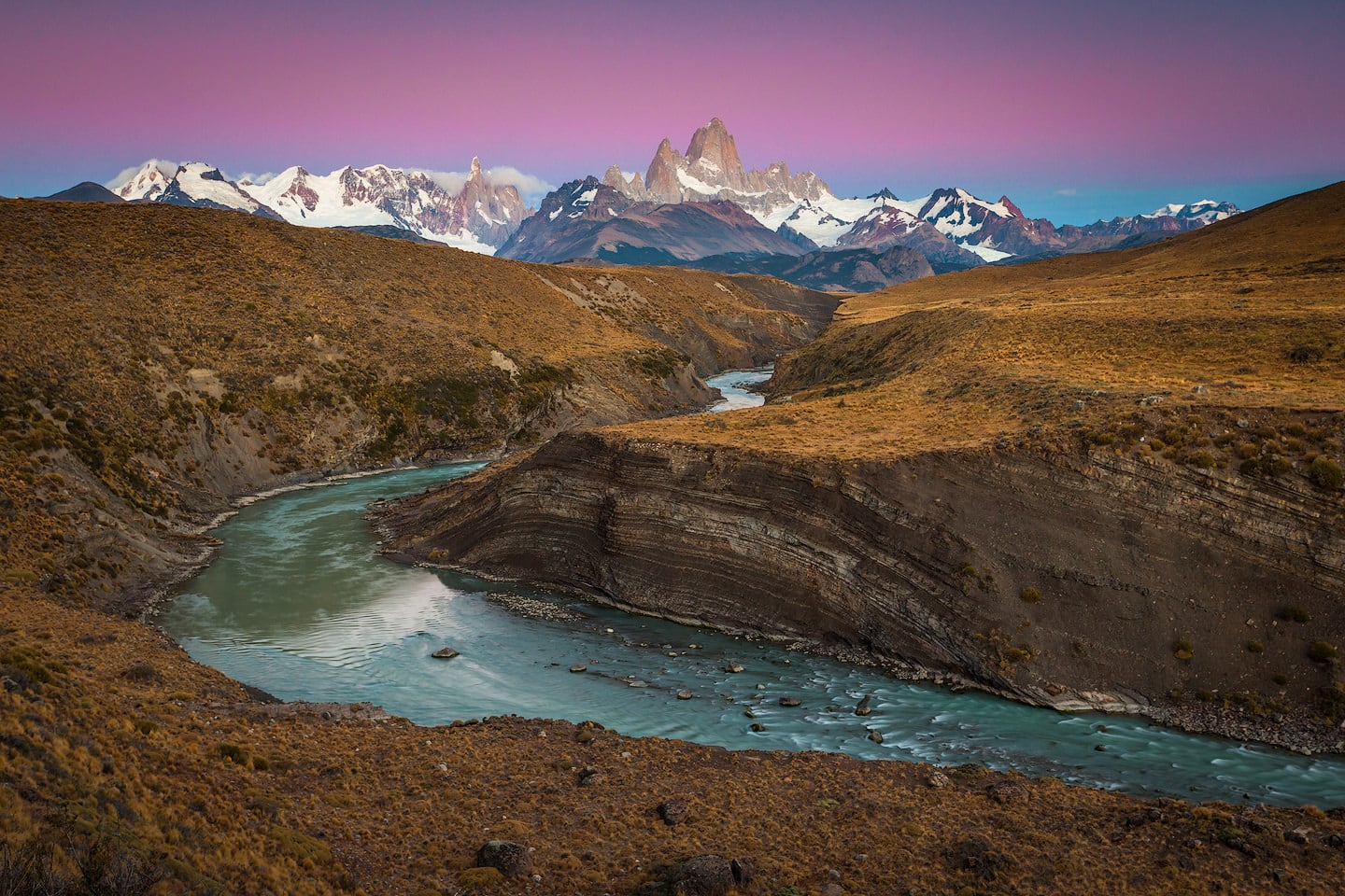
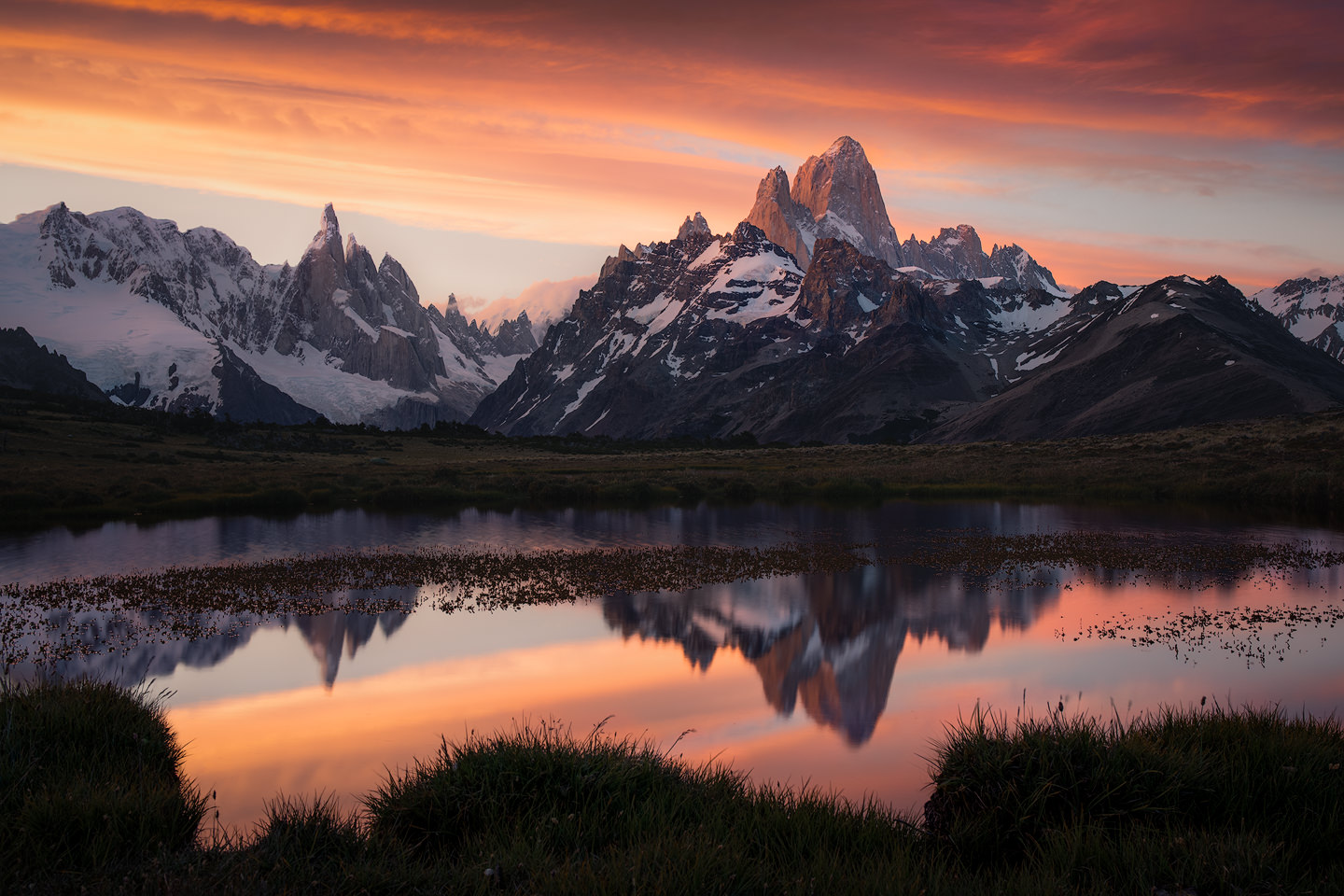
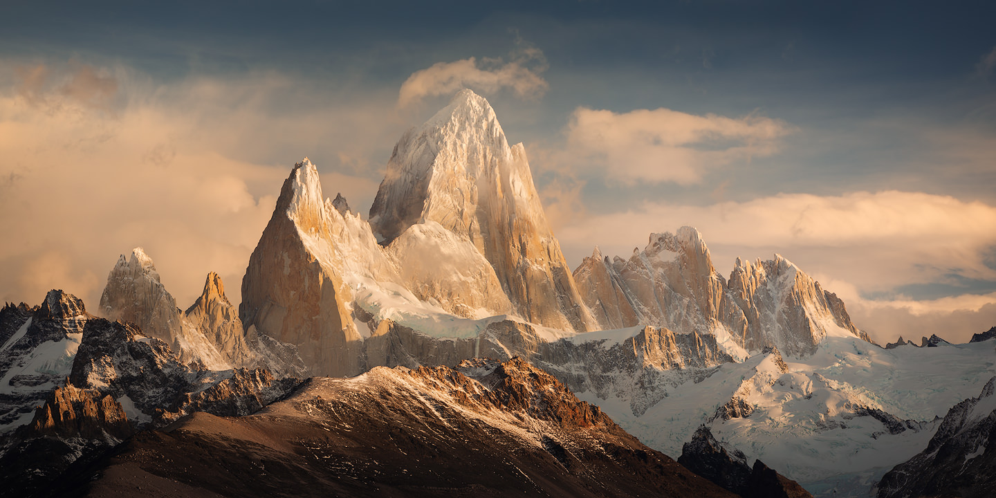
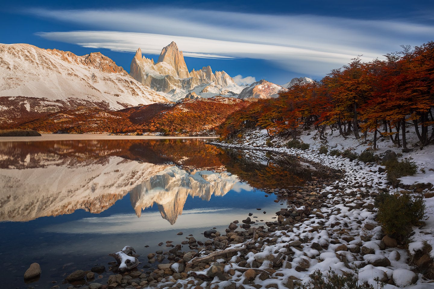
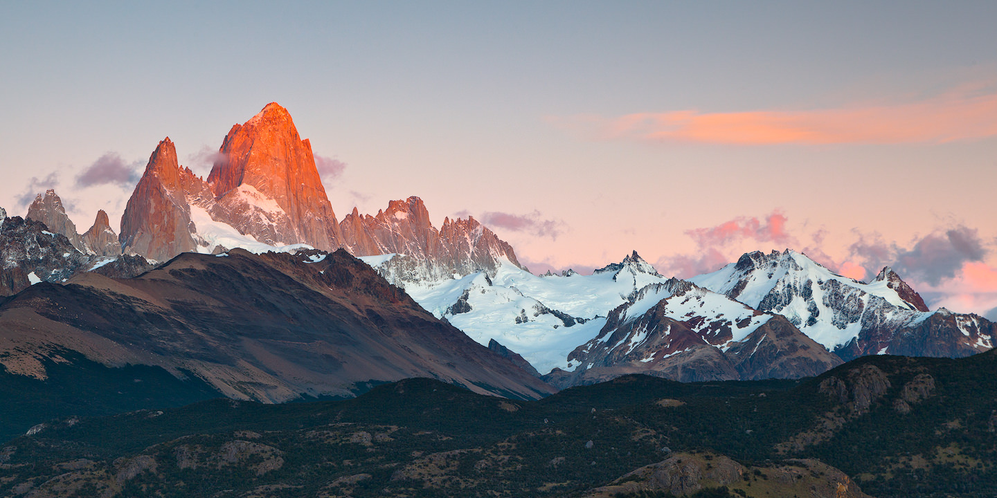
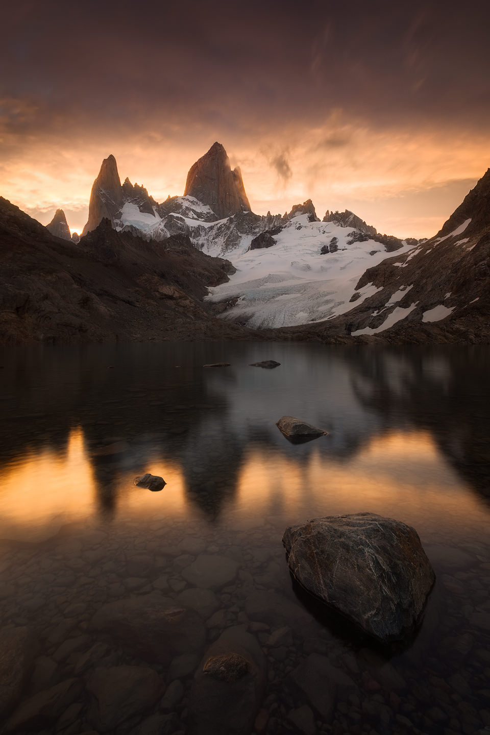
These photographs come from repeated visits, summer and winter — trips when the trail to Laguna de los Tres carried a steady line of people, and a long winter season when the hotels in town had closed for the year and the lake below the east face was frozen over. Some were made a few minutes from the road; others after spending days in a tent or hours walking in the dark. Fitz Roy looks like a different mountain depending on where you stand and what the sky is doing, and no one frame covers it.
Explore Fitz Roy!
I first came to Fitz Roy in 2011 on a three-day trek, slept through the sunrise I had set my alarm for, and have come back many times since. Over the years the mountain has taken me from a tent among fifty others to the night sky above the range, and out onto the icefield behind it. The images and stories that follow are what those trips left me with.
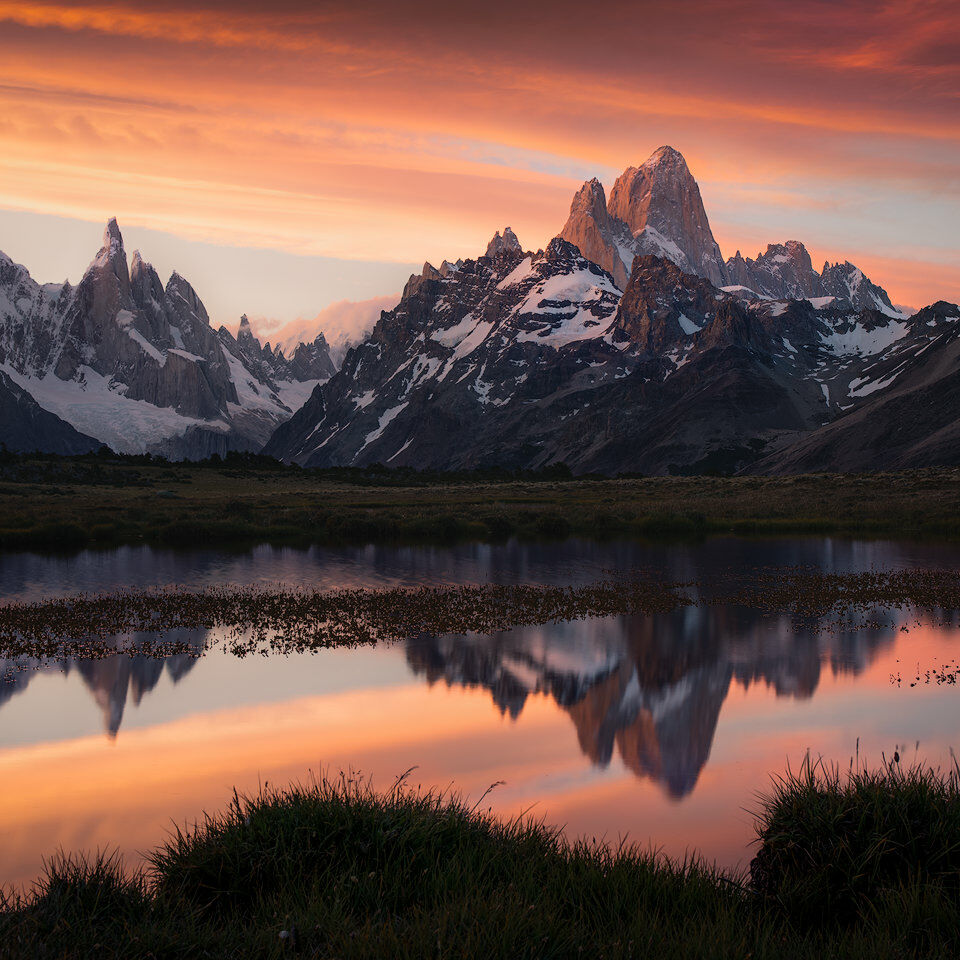
Double Delight
Hours before sunset, with Fitz Roy and Cerro Torre across a small pond, I did something I had spent years not doing: I sat down in the grass, opened a book and…
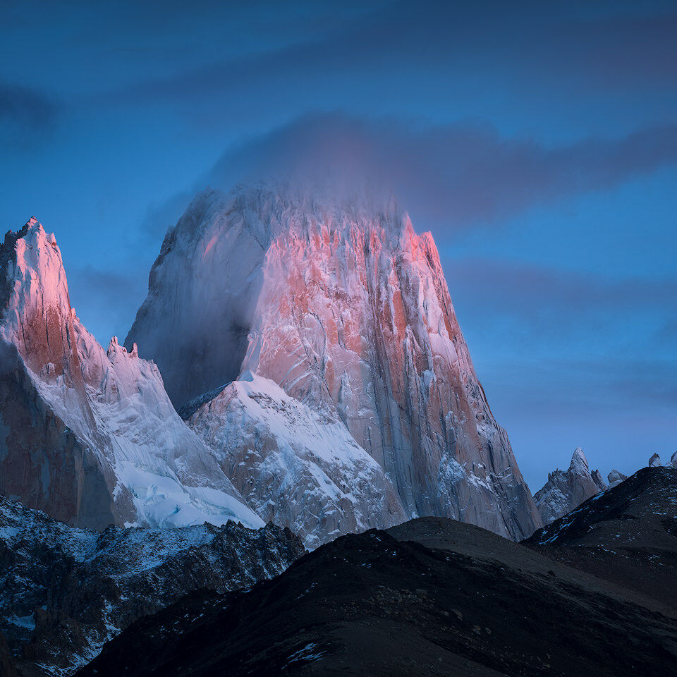
Gentle Call
El Chaltén in winter is a different place — the hikers gone, the trails frozen, the Lenga beeches stripped to bare wood. A winter sunrise on Fitz Roy rarely…
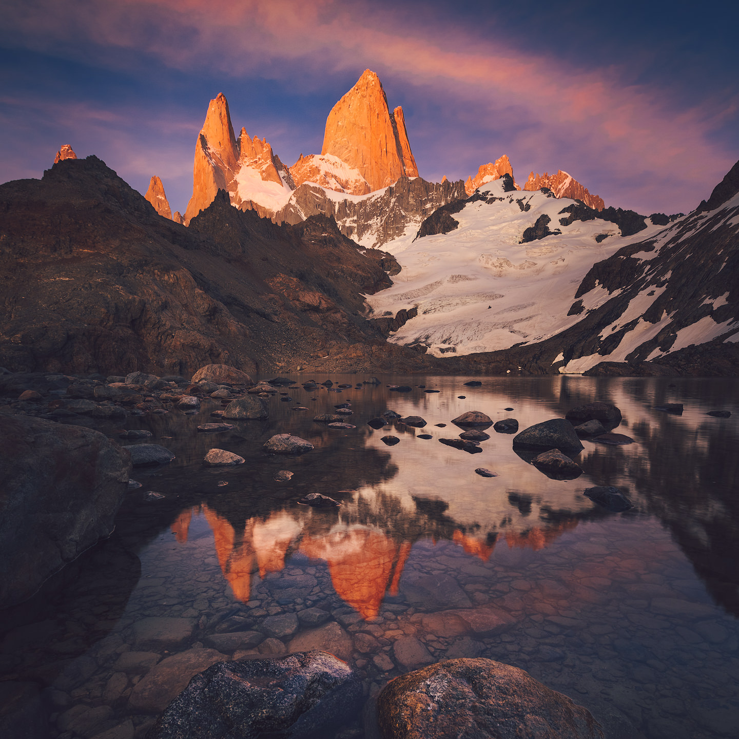
In Patagonia
Since I'm being treated to some decent internet connection these days I thought I'd give you a little update about my whereabouts... I'm reciding in Ushuaia at…
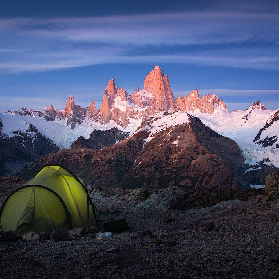
Merry Christmas 2015
Merry X-Mas everyone!! I'm lucky enough to be celebrating in Patagonia this year. Here's a shot from last week. I'll post some updates next week - if internet…
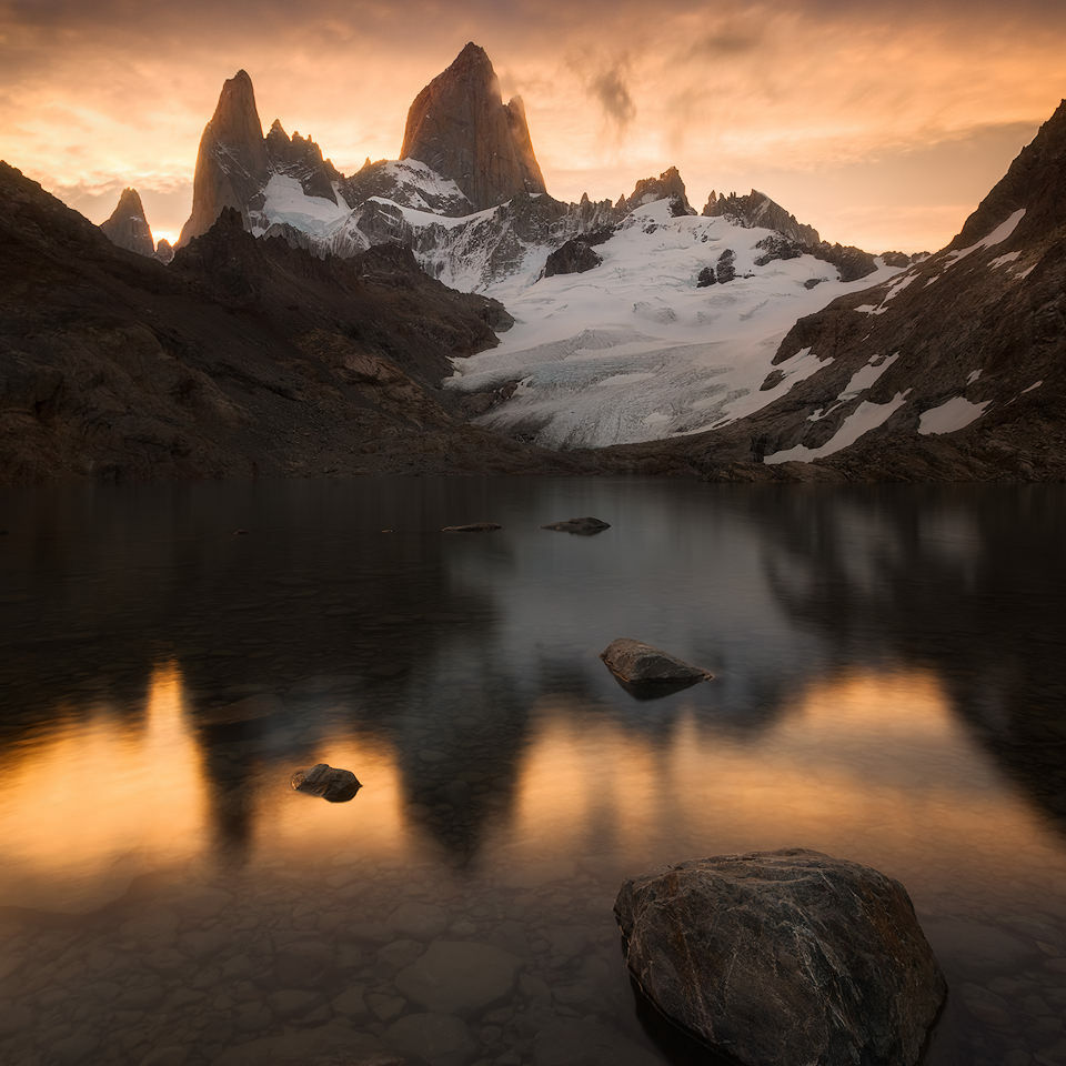
Rise of the Dark Knight
I found it in the archive three years after I took it. The 2011 version had already been on a magazine cover. The version I made in 2014 was a different…
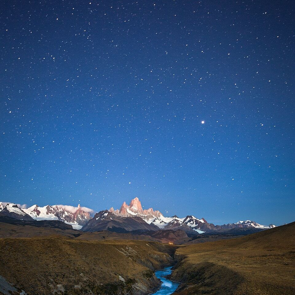
Silent Watchers
Days of cloudless sky over El Chaltén. No use to a landscape photographer. So I went out at night instead — and found the Fitz Roy Range standing silent under…
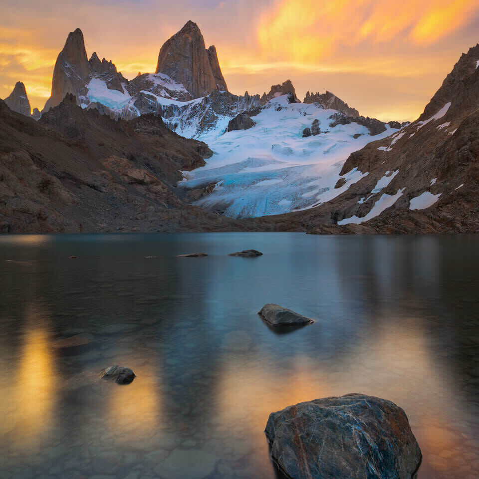
Fitz Roy on Fire
Two months coming south from Peru — hostel dorms, fixed departure times, the same faces turning up at every stop. Then I walked into Fitz Roy's basecamp and…

Glowing Fitz Roy
My first morning in El Chaltén. No clouds, no Patagonian drama — just a few seconds of red light on Fitz Roy's peak before the mountain slipped back into…

Nothing found.
Nothing found.
Nothing found.