Overview
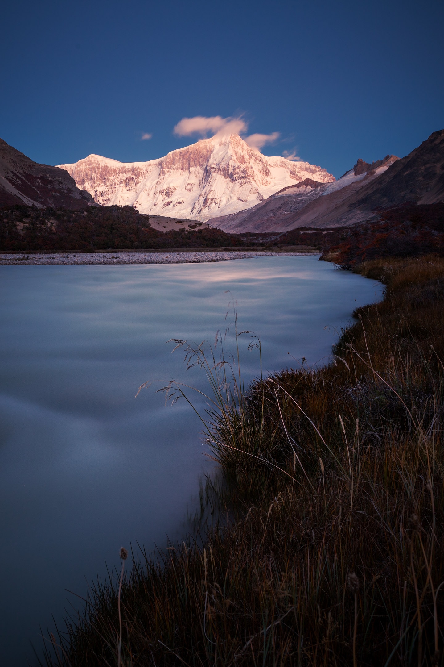
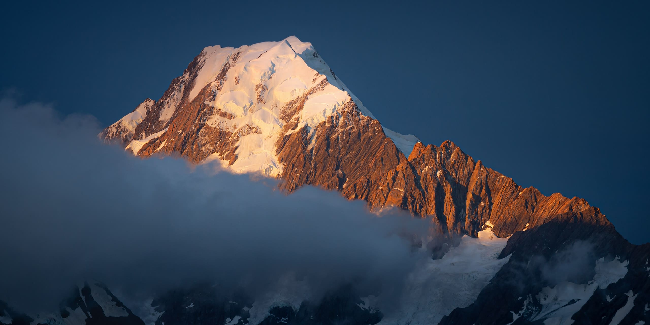
Monte San Lorenzo (referred to as Cochrane in Chile) with an altitude of 3.706m is the third highest mountain of the Cordillera Patagónica Austral (after Monte San Valentin and its neighbour Cuerno de Plata). It sits remotely between the peaks of the Northern and the Southern Patagonian Icefield, and relatively far to the east of the main axis of the Andes. Its main summit lies on the border between Chile (Aysén Province) and Argentina (Santa Cruz Province), looking down towards the Pagatonian fjords a bit further in the west, and the dry pampas of the Meseta Patagónica in the east. The main chain of the mountain extends more than 10km from north to south, and below the long ridges connecting the main with two minor summits (Cumbre Norte, 3.567m and Cumbre Sur, 3.385m), San Lorenzo’s east-face with its almost 2.000m vertical drop is definitely its most remarkable feature.
Around Monte San Lorenzo, more than anywhere else in Patagonia, the history of alpinisim is intertwined with that of explorers, geographers and people settling in the region. This history can still be relived today at every step in the zone, passing the marks left by early pioneers of mountaineering and human settlement, and moreover, most of what the first explorers of the area (like George Chaworth Musters, Clemente Onelli or Alberto M. De Agostini) had to say about the landscape still holds true:
[…] what crowned the scene was a gigantic mass of bluish ice that absolutely dominated the entire landscape: it was the Andean colossus of the south, Monte San Lorenzo, which, with its enormous mass, stood out superbly against the sky on a clear day – its shape and dimensions reminiscent of Monte Bianco.
Clemente Onelli’s description of Monte San Lorenzo, Trepando los Andes, 1904
And while Onelli compares the mountain to Mont Blanc, its impressive proportions in the vast landscape surrounding it, rather make it ressemble the majestic Himalayan peaks. But regardless of any similarities with other great mountains, Monte San Lorenzo is an impressive peak and it comes as no surprise that from the early days of exploration of Patagonia on, San Lorenzo kept fascinating anyone entering its vicinity. Nowadays it’s its spectacular and unclimbed east-face that keeps attracting climbers and mountaineers from all around the globe.
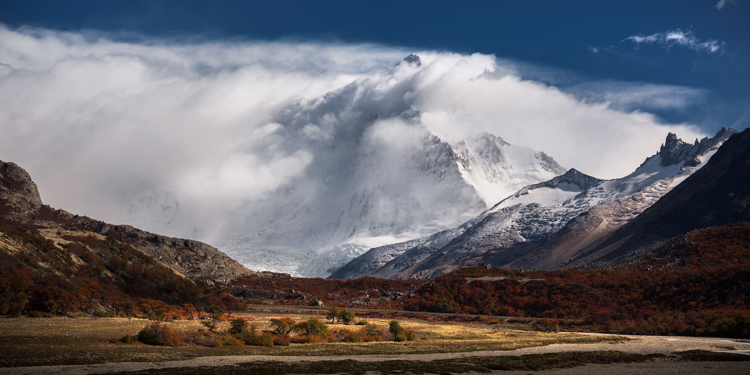

Monte San Lorenzo
Quick Info
In this section you’ll find a quick overview of the most important facts about Monte San Lorenzo together with a map and a few links. Scroll down for a bit of climbing history, and even further down you’ll find sections covering trekking and landscape photography and an exclusive image gallery.
Facts
- Height: 3.706m / 12.159ft
- Mountain Range: Andes
- First Ascent: Dec. 17th 1943
Location
- Country: Argentina/Chile
- Province: Santa Cruz/Aisén
- Nearest Airport: Comodoro Rivadavia (CRD)
Monte San Lorenzo
On the Map
- GPS: 47°35′30″S, 72°18′24″W
- Lat/Long: -47.591667, -72.306667
Additional Information:
Climbing History
Monte San Lorenzo must have had an unquestionable attraction on any explorer or mountaineer in Patagonia, but due to its remoteness and the unstable weather, its peak seemed out of reach for a long time. For what is known, Salesian Priest Alberto María De Agostini (1883-1960) must have been the first to set his sights on its summit’s Andean challenge, despite its intimidating aspects.
The formidable granite walls that surround it on all sides, sloping down for more than a thousand metres, make it look like a gigantic fortress that seeks to defend its white and seductive, ice-encrusted summit from all human approach.
Alberto María De Agostini’s Description of Monte San Lorenzo, Andes Patagónicos, 1945
During his first visit in 1937, when De Agostini was travelling through Patagonia, he also stopped at Estancia El Rincón to then follow the course of the Río Lácteo and pass by the idyllic Puesto San Lorenzo – perhaps the most charming of all the places located at the foot of the San Lorenzo Massif. Equally impressed and challenged by the mountain, he decided to come back. But his first ascent of Monte San Lorenzo had to wait, and it turned out to require the culmination of a process of exploration that took him three years in a row (1940, 1941 and 1942). The intricate shape of the San Lorenzo explains well this need for prior exploration. From wherever you look at it, it offers a different picture. Only by looking at a map or aerial photo can one fully understand the strange geography of this unique peak.
1st Ascent
After exploring all the different sides of the San Lorenzo, Alberto M. De Agostini was finally able to draw up a feasible route. Equipped with all the knowledge he had gathered during his previous expeditions, De Agostini returned in November 1943, accompanied by a Swiss mountain guide (Alejandro Hemmi), an experienced Austrian climber (Heriberto Schmoll) – both residents of San Carlos de Bariloche – and a porter and cook (referred to as Raineri) from Comodoro Rivadavia. De Agostini wrote a detailed diary of the expedition which he later published in the annuals of the Club Andino de Bariloche (No. 13, 1944) and in his book Andes Patagónicos.
Almost 20 days after leaving Comodoro Rivadavia, they finally set up their basecamp, sheltered from the wind in a forest in the valley of Río Tranquilo. From there, in the days that followed, they worked their way up the valley and the glaciers. They found a way to cross between San Lorenzo and the Cordón Cochrane, which they called Brecha de la Cornisa, and built a second camp on the glacier. After a quiet night and a clear morning – and ignoring a few signs of changing weather – they continued looking for a way towards the summit. But after a few hours of little progress they had to abort their mission due to dense clouds and fog, and headed back to their basecamp, where they waited for better weather.
To the darkness, in which the dense fog has wrapped us, adds the uncertainty of the route we are anxiously searching for among the vertical walls of ice. In the deep silence of the mountain, at short intervals, like powerful artillery fire, we can hear the thunderous boom of avalanches falling into the abyss. As we cautiously move forward in that fantastic labyrinth, illuminated by a grey and gloomy light, we suddenly see our path cut by a wide and deep crevasse that reflects in its chasms the bluish green of the compact mass of ice.
Alberto María De Agostini about the moments before they turned around, Club Andino Bariloche, Memoria 1944, 1944
On December 15th, De Agostini, Hemmi and Schmoll headed out again and within a few hours reached the second camp, where they had left a tent and provisions. Once again they got hit by bad weather and decided to spend the following day at the camp, working on improving the protection from the wind. On the next morning the wind had somewhat died down, but the top of San Lorenzo was still wrapped in clouds. De Agostini and his climbing partners agreed on keeping going anyways. Their progress was slow, though – the main obstacles being crevasses, seracs and steep ice, in which Hemmi kept cutting steps for the rest of the party to follow. It takes them more than four hours to reach the summit ridge, where in still mediocre conditions they kept struggling to find their way. Another four and a half hours later, at 17:30 of December 17th 1943, they finally reached the main summit of Monte San Lorenzo, where De Agostini installed a statue of the Virgin Mary alongside the Argentine flag and the pennant of the Club Andino the Bariloche.
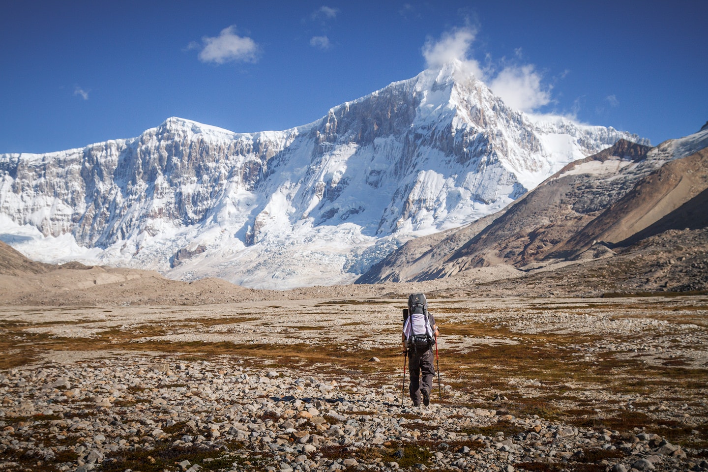
Due to the war raging in Europe, the success of the expedition went relatively unnoticed, but De Agostini – who was already sixty years old – gloriously sealed his life of dedication to the Patagonian Andes. And while there is no doubt about his achievements in alpinism being outstanding, it is the love for the places he explored and the intelligent study of the natural routes – both evident in the books and articles he wrote – that make his endeavours into these mountains so examplary.
Trekking
Trekking around Monte San Lorenzo is a breathtaking experience – the biggest difference to other regions of Patagonia being the atmosphere as a whole. The imposing solitude of the main summit, which stands apart in these rugged landscapes, attracts above all those who prefer an unspoilt and raw experience. The air is filled with a sense of history and adventure, unmatched in the more popular areas of Patagonia, and the low number of visitors guarantees pure and fascinating adventures.
A good place to start exploring the area around Monte San Lorenzo is its Argentine side, where a huge national park offers rather easy access. Trekking in Parque Nacional Perito Moreno is covered in a separate article, where you’ll also find suggestions, advice and descriptions of popular trails. The park offers quite a big system of trails, and one of them – Circuito Valle del Río Lácteo & Laguna de los Témpanos – will take you right to the foot of Monte San Lorenzo’s eastern face.
Apart from the comfortable access through Parque Nacional Perito Moreno, San Lorenzo can also be approached from the Chilean side. Going south from Cochrane on a rough road you’ll eventually arrive at Fundo San Lorenzo run by Luis Soto and his wife. The idyllic farm provides accomodation, food, trekking and horseback riding and is an excellent starting point for explorations and climbs. Further up the valley of the Río Tranquilo, Luis built a comfortable wooden hut – named Refugio Toni Rohrer – at the site where De Agostini, Hemmi and Schmoll had set up their basecamp for their successful expedition in 1943. Judging by De Agostini’s own words, it must be quite a nice place:
Our camp life passes quickly and cheerfully under the shelter of our canopy, which is daily enriched with new furnishings and greater comforts. The wind, which is howling strongly at high altitude, as the speed of the clouds indicates, only reaches us in the form of weak gusts that are blowing through the forest. We have certainly managed to set up a privileged camp, perhaps the most picturesque and peaceful of those I have enjoyed on my long pilgrimages in the Cordillera. Absolute quiet and peace.
Alberto M. de Agostini on life in their basecamp, Club Andino Bariloche, Memoria 1944, 1944
Even further south-west you can approach San Lorenzo from the base of the Glaciar Calluqueo. I haven’t been to the Chilean side myself, but came across a hut called Cerro Condór about which unfortunately there’s no reliable info to be found online. It might exist, it might not – do your research before going.
Landscape Photography
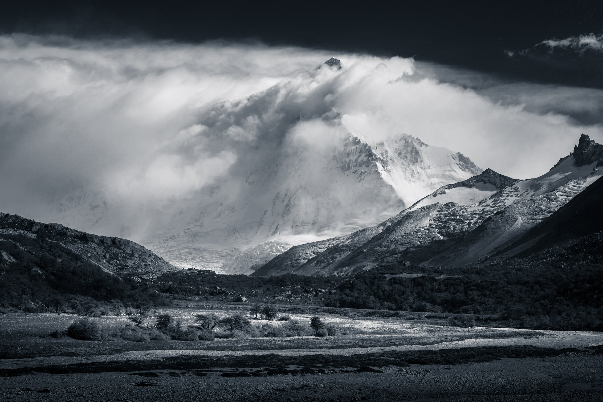
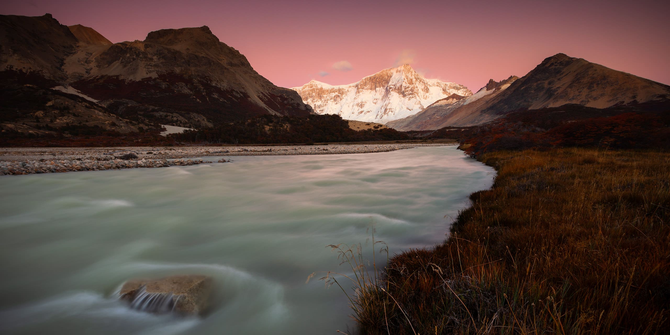
If you’ve had enough of photographing all the iconic and over-popular peaks in other parts of Patagonia (like Fitz Roy or the Cuernos del Paine), taking photos of Monte San Lorenzo might be what you are looking for. Here you get similar mountainscapes (maybe even a bit rougher) and light, but don’t be surprised if you’re the only landscape photographer within a radius of a few hundred kilometers. As always in Patagonia, the ever changing weather and incredible cloud formations (lenticular clouds are quite common) hold surprises for every sunrise or sunset.
Getting to the base of Monte San Lorenzo is quite an adventure, which luckily keeps many photographers away. Make sure to bring a light and sturdy tripod, and enough ND filters to shoot long exposures of streams and lakes. Wide angles work wonders on compositions, but don’t underestimate the power of a close-up shot with a tele lens. You’ll find yourself surround by natural beauty and in a paradise for landscape photography – don’t forget to bring enough batteries and memory.
Locations
Looking for ideas where to set up your tripod and get away with amazing photos of Monte San Lorenzo? Here’s a selection of locations which you might want to check out.
Puesto San Lorenzo
The old wooden hut is not only a reminder of the early days of settlement and protection of the Argentine borders – it is also a pittoresque spot with great options for taking photos of Monte San Lorenzo.
Laguna de los Témpanos
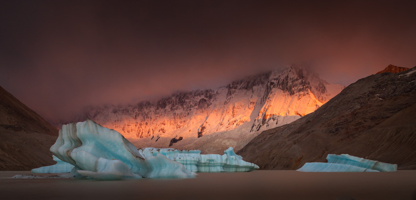
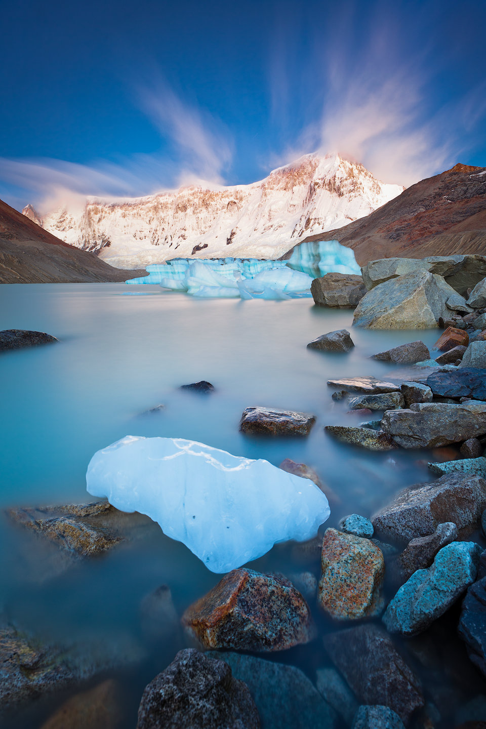
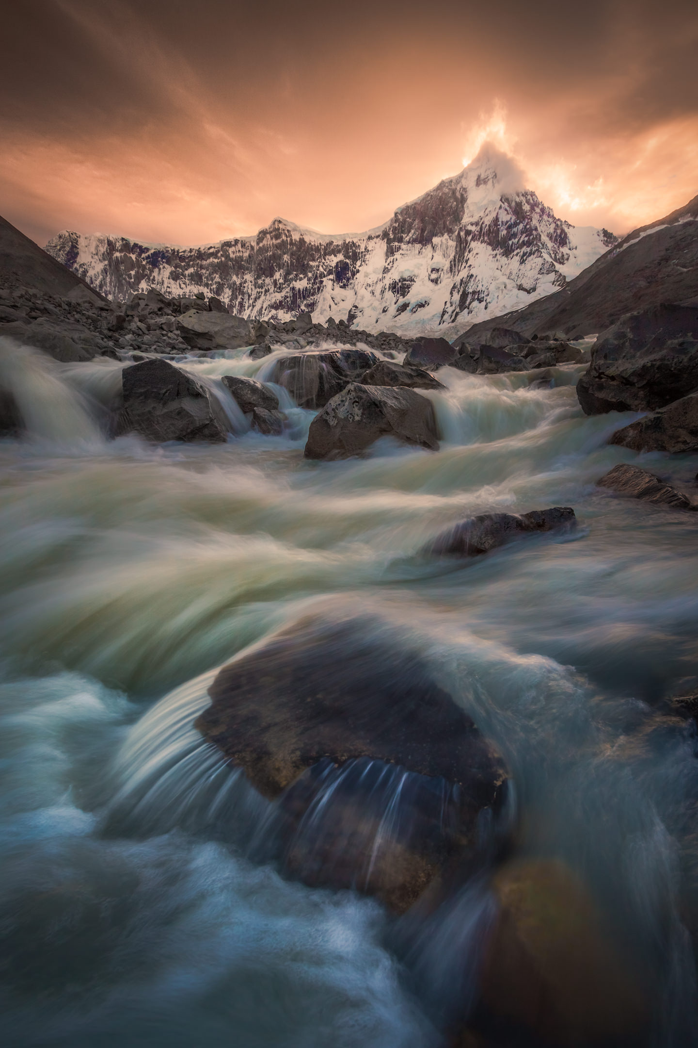
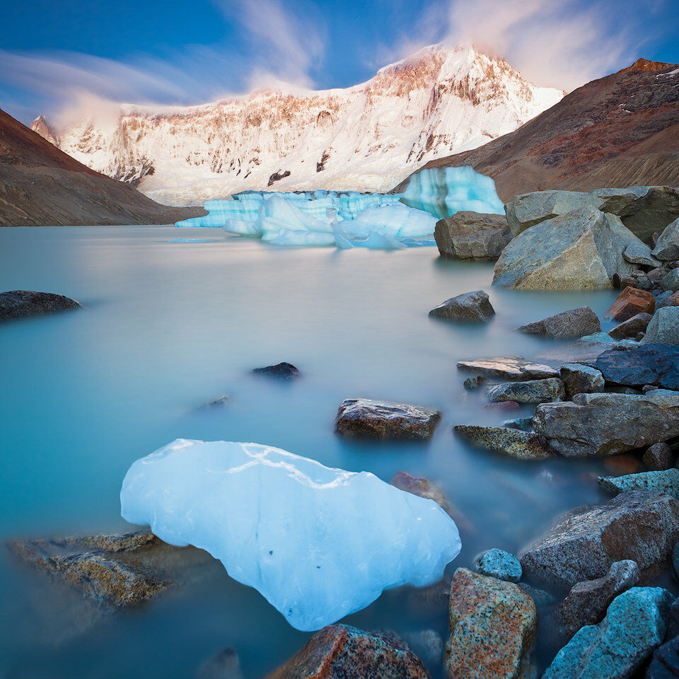
Laguna de los Témpanos is a glacial lake lying directly below San Lorenzo’s east-face. The lake is often filled with icebergs and you might find chunks of ice scattered on its shores – I’m going into details in my write-up about my photo of Monte San Lorenzo taken from there. The river flowing out of the lake can be used for long exporure shots of the impressive walls of ice.
Image Gallery
A picture says more than a thousand words they say – check out my image gallery below. These photos of Monte San Lorenzo have been taken during two short stays in Parque Nacional Perito Moreno. Click on the images to open a lightbox.
On the Blog
If you want to read more about Monte San Lorenzo and keep exploring the blog, you’ve come to the right place. Here’s a selection of related images, adventures and articles from my blog for you:
It's a remote, but incredibly beautiful mountain and has a massive, unclimbed east face - that's more or less all I could find out about Cerro San Lorenzo…
Image
Keep Exploring
